🌍 Records from the halls of power
The Silent Shift: How Climate Change Redraws Borders
worldPublished 27 Nov 2025
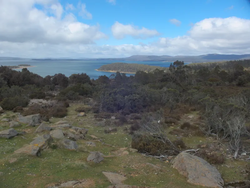
Image via Wikimedia Commons
- What: Rising water levels in the Great Lakes are altering the U.S.-Canada border, transforming territorial claims and challenging notions of sovereignty.
- Where: Great Lakes region, United States and Canada
- When: Recent years, with significant changes observed since 2013
- How: Climate change is driving increased water levels, leading to the submersion of land and a redefinition of borders based on a 1909 treaty.
- Why: This shift highlights the impact of climate change on international relations and the need for adaptive diplomatic frameworks.
The Great Lakes and the Border's Unexpected Transformation
Imagine a landscape where towering lakes, shimmering under the sun, quietly reshape the very maps that define nations. The U.S.-Canada border spans a staggering 5,525 miles, making it the longest international boundary in the world. Yet, in this vast expanse, the magic of nature intermingles with geopolitics, as rising water levels in the Great Lakes have begun to alter the official borders between these two countries without a single shot being fired. How can such a powerful shift unfold so peacefully?
The Climate Catalyst Changing Geographic Lines
Records from the National Oceanic and Atmospheric Administration (NOAA) indicate that rising water levels in the Great Lakes have increased substantially over the past decade, with levels rising up to 2.5 feet in some areas since 2013. This environmental phenomenon, largely driven by climate change, has led to significant shifts in the shoreline, effectively redrawing the maps that divide the United States and Canada. As the lakes swell, they inundate territories that once belonged firmly to one nation, creating patches of submerged land that, according to a 1909 treaty, may now technically belong to the other. This realignment of land illustrates how powerful environmental forces can subtly rewrite the political landscape, sparking questions about land rights, sovereignty, and environmental responsibility.
This transformation invites us to observe a much broader narrative: borders are not merely lines drawn on a map; they are fluid entities influenced by the very climate we live in. As rising tides continue to redefine geopolitical boundaries, the relationship between nations becomes increasingly negotiable, revealing a tapestry of historic power struggles challenged by forces beyond human control. This unexpected adjustment has ignited discussions and negotiations that could redefine diplomatic relations between these long-standing allies.
The Ongoing Conversations Between Geopolitics and Environment
The reason this matters today is that this quiet shift exemplifies how climate change serves as a silent arbiter of relationships between nations. As countries grapple with more severe weather patterns, resource scarcity, and shifting landscapes, the framework of international diplomacy must adapt. For instance, a 2021 study published by the Intergovernmental Panel on Climate Change (IPCC) predicted a rise in global sea levels by up to 3.6 feet by 2100, forcing other nations to confront similar dilemmas over land rights and territorial sovereignty. Countries may need to negotiate new boundaries, perhaps even ceding land that has long held economic or historical importance. The evolving definition of borders compels us to question what it means to belong — to a land, a nation, or to an identity shaped by shared challenges.
Did You Know?
1. The Great Lakes hold about 20% of the world's unfrozen surface freshwater, making them a crucial natural resource. 2. In 2000, an extensive border inspection project began to address changes along the U.S.-Canada boundary affected by natural events. 3. Climate change has been linked to global patterns of migration, as populations move in response to environmental factors, potentially redefining national borders over time.
Keep Exploring
CurioWire continues to uncover the world’s hidden histories — one curiosity at a time.
Sources & References
- National Oceanic and Atmospheric Administration (NOAA) — Great Lakes Water Levels
- Intergovernmental Panel on Climate Change (IPCC) — Climate Change and Land Report
- U.S. Geological Survey — Impacts of Climate Change on Water Resources