🏺 Recovered from the dusty archives
6 Fake Places Hidden on Real Maps
- What: This list explains how maps and geospatial data have sometimes included deliberate fake features or long-repeated errors, often to detect copying or because mistakes persisted in cartography.
- Where: Primarily in commercial mapping and geospatial publishing, with examples from Britain and the wider world.
- When: From the era of printed street atlases to modern digital GIS datasets.
Maps feel like the opposite of fiction. Clean lines. Exact names. A promise that the world is pinned down.
But some maps carried decoys on purpose, while others repeated mistakes for so long that they started to look real. Here are six cartographic fictions that slipped onto the page.
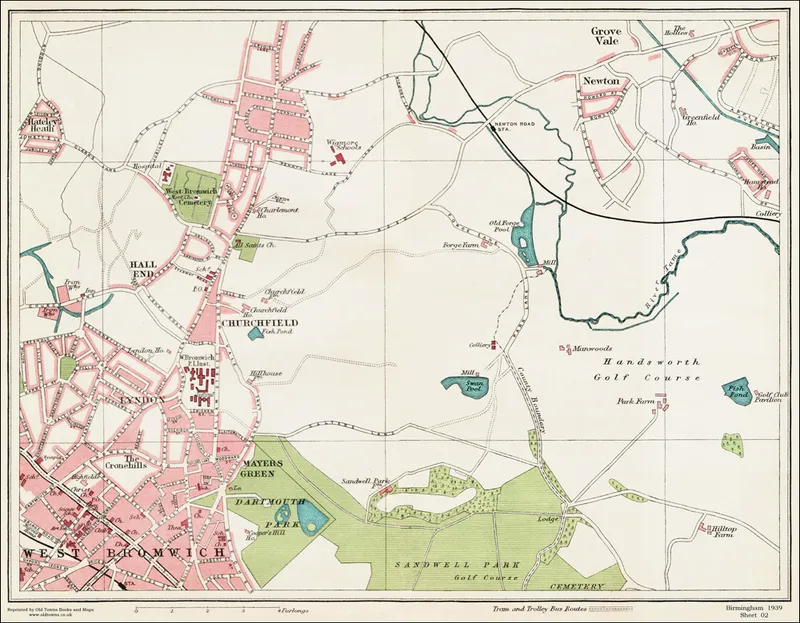
1. Trap Streets in British Street Atlases (not used by Ordnance Survey)
Some commercial British street atlas publishers reportedly inserted tiny fake cul-de-sacs or alleys into their maps. These were called trap streets: small, forgettable features designed to act like fingerprints.
The surprise lies in the motive. If the same non-existent street showed up on a rival map, it could suggest copying. But this did not apply to everyone: the UK Ordnance Survey has said it does not add deliberate errors.
2. Phantom Islands: Sandy Island
Sandy Island sat on maps for decades, even though modern surveys found that it does not exist. It appears to have come from an old report and then lingered in cartography far longer than it should have.
That is what makes it so striking. This was not a copyright trap. It was a persistent mistake, finally removed after surveys in 2012. An island people could point to on paper simply was not there.
3. Deliberate Misspellings and Paper Towns to Catch Copiers
Some publishers went smaller and sneakier. Instead of inventing a dramatic landmark, they allegedly tweaked a place-name spelling or added a tiny hamlet unique to their own edition.
These details mattered because they worked like canaries. If the same odd spelling or obscure place reappeared elsewhere, it could serve as evidence that another mapmaker had copied the work rather than surveyed it independently.
4. Fictitious Streams or Ponds as Canaries
A few publishers used water features the same way: a short stream bend, a small pond, something subtle enough not to dominate the map but distinct enough to be recognized later.
The key detail is scale. Large false rivers are rare. But a minor water feature could sit quietly on a plate for one purpose only: to reveal unauthorized reuse if it surfaced in a competitor's version.
5. Inserted Building Footprints or Odd Junctions
City atlas plates could carry even more technical fingerprints. A unique building outline or an improbable junction might be inserted so the publisher could trace copying.
What makes this clever is the placement. These details were reportedly chosen so they would not seriously mislead navigation, yet they still marked the map as belonging to a particular maker.
6. Digital Honeytokens in GIS Data
The idea did not end with paper. In modern GIS and geospatial datasets, subtle honeytoken features or metadata fingerprints may be embedded to detect unauthorized copying.
The method changed, but the logic stayed the same. Instead of a fake alley on a printed page, the tell might live in vector data or attributes, invisible to most users but useful in a dispute over who copied whom.
So the strange thing about maps is not just that they guide us. Sometimes they also watch for thieves, carry old ghosts forward, and prove that even precision tools can have invented edges.
Did You Know?
Agloe, New York, began as a fictitious place added to a map by General Drafting, but a real store later used the name, briefly turning the paper town into an actual mapped location.