🏺 Recovered from the dusty archives
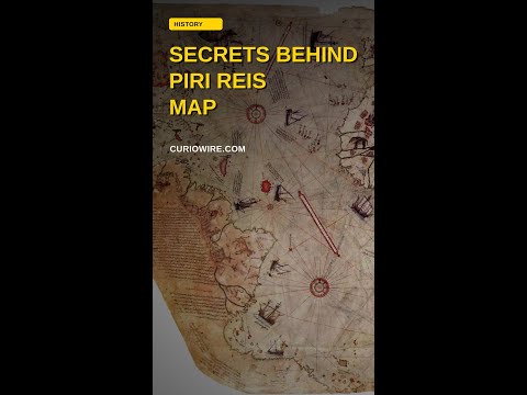
Piri Reis Map Explained Through Columbus and Older Charts
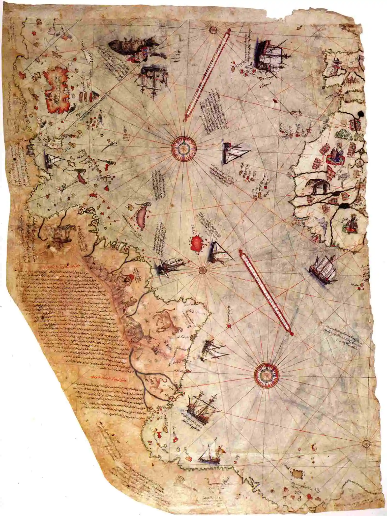
- What: The Piri Reis map is a 1513 Ottoman map fragment assembled from multiple earlier sources, showing how early 16th-century geographic knowledge was compiled rather than created from scratch.
- Where: Ottoman Empire; the surviving fragment depicts western Europe, West Africa, Atlantic islands, and parts of the Americas.
- When: 1513, during the early age of Atlantic exploration.
The Piri Reis map, drawn in 1513 in the Ottoman world, is most interesting for what its maker said about it. In a note written on the map, Admiral Piri Reis explained that he did not create it from scratch. He said he compiled it from many earlier sources, including recent Portuguese maps, an alleged chart by Christopher Columbus, and much older geographic materials.
What the Map Shows
That claim gives the map its unusual character. The surviving fragment shows parts of western Europe, West Africa, the Atlantic islands, and the coasts of the newly encountered Americas. Some sections reflect the fast-moving knowledge of the early Atlantic voyages, when sailors were still piecing together coastlines from exploration reports. Other parts seem to preserve older mapping habits, where inherited ideas and copied shapes traveled from one chartmaker to another.
Piri Reis was not a detached scholar working in isolation. He was an Ottoman admiral and navigator, active in a Mediterranean world where information moved through trade, war, piracy, diplomacy, and captured documents. In his own note, he described the map as a compilation built from around 20 source charts and mappae mundi. The reference to Columbus is especially striking because no universally accepted original Columbus map survives. Piri Reis claimed he had access, directly or indirectly, to material connected to Columbus, but there is no definitive proof that a Columbus-drawn chart itself was in his hands.
Why the Piri Reis Map Matters
That is what makes the map historically valuable without turning it into a legend. Its importance is not that it perfectly predicted unknown lands or secretly preserved lost civilizations. It matters because it shows how geographic knowledge was assembled in the early 16th century: not in a clean line, but in layers. Fresh reports from Atlantic exploration sat beside older cartographic traditions, and a mapmaker in the Ottoman Empire could gather both into one working image of the world.
The larger context is easy to miss. The age of exploration is often told as a purely Western European story, but the Piri Reis map is a reminder that new world knowledge circulated beyond Spain and Portugal very quickly. By 1513, discoveries made in the Atlantic were already being absorbed, reinterpreted, and archived in Ottoman hands.
Ottoman Role in Early Mapping
The concrete implication is simple: the Piri Reis map is best understood not as a mysterious outlier, but as a snapshot of how early modern mapmakers stitched together the newest voyage data with much older geographic inheritance.
Did You Know?
Piri Reis’s map is preserved only as a fragment; the surviving portion is part of a larger chart that has not survived intact.