🏺 Recovered from the dusty archives
First Earth Photo From Space Was Taken in 1946
- What: A US-launched V-2 rocket carried a camera in 1946 and returned the first known photographs of Earth from space, including a curved horizon.
- Where: White Sands Missile Range, New Mexico.
- When: October 24, 1946, in the post-World War II period.
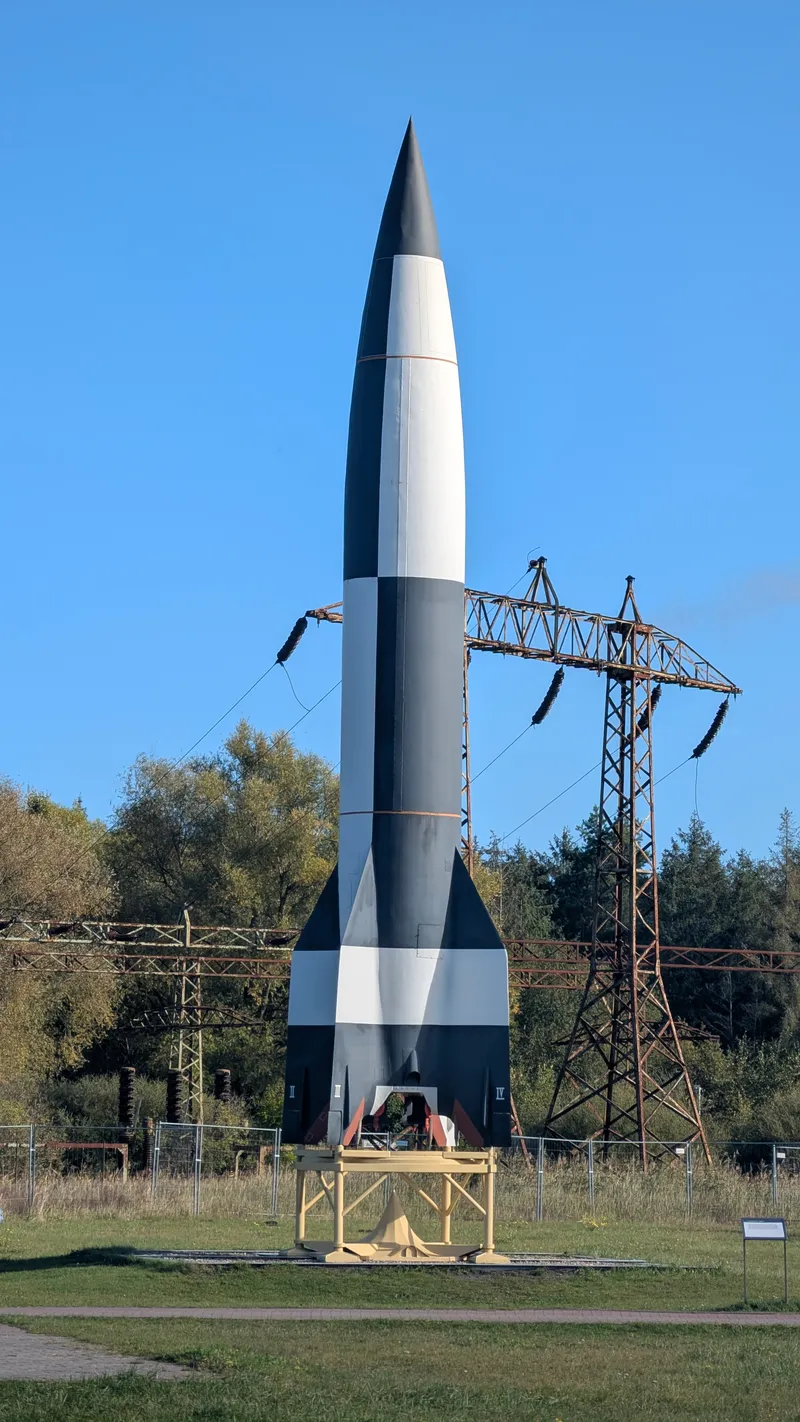
In 1946, the first photo of Earth from space did not come from a satellite. It came from a camera bolted inside a captured German V-2 rocket, launched by the United States from White Sands Missile Range in New Mexico.
October 1946 V-2 Flight
The flight took place on October 24, 1946. A 35mm motion-picture camera was placed aboard the rocket to record the trip upward. The V-2 climbed to about 65 miles, or roughly 105 kilometers, above Earth, high enough to cross the line commonly used today to mark the edge of space. At that height, the camera captured something no human had ever photographed before: Earth’s curved horizon seen from above.
The images were not polished satellite views like the ones now used in weather reports or phone apps. They were grainy, black-and-white frames pulled from film that had gone up on a military rocket. In many retellings, the rocket itself crashed back to Earth at high speed, but the film survived inside a steel cassette and was recovered from the wreckage. That recovery is part of why the pictures exist at all.
White Sands and Captured V-2s
The event came at an unusual moment in history. The V-2 was a wartime weapon developed by Nazi Germany, then studied and reused by the United States after World War II. At White Sands, engineers and military teams launched captured V-2s for upper-atmosphere research and instrument testing. So humanity’s first photographic view of Earth from space did not begin with the satellite era. It came out of postwar rocket experiments using technology built for an entirely different purpose.
That context matters. By 1946, no one was yet looking at the daily stream of orbital images that would become normal decades later. The first artificial satellite, Sputnik 1, would not launch until 1957. Routine Earth imaging from space belonged even further in the future. The 1946 picture was an early technical glimpse, not the start of modern satellite photography.
First Known Earth Photos
The hard fact is simple: on October 24, 1946, a US-launched V-2 carrying a camera rose above 100 kilometers from White Sands, New Mexico, and returned the first known photographs of Earth from space, including a clearly curved horizon.
Did You Know?
The V-2 reached about 65 miles high, which is above the Kármán line commonly used today to define the edge of space.